Doug Leier Column: Break Your Fishing Routine

Like a lot of people, I’m often guilty of following a routine. That’s particularly true when it comes to choosing fishing spots.
Year after year I can fish the same lakes, recall past visits, and assess the current state – whether the water is up or down, or whether there are more or fewer people than were fishing in the past. And I know the spots to fish, what bait to use and what I’m likely to catch.
However, there’s never been a better time in North Dakota to break the routine, and I’d do well to take my own advice and try some new fishing spots. Since these just might be the hay-days of fishing in North Dakota, we have so many places to discover that could just beat that old standby
Not only are the waters deeper, wider and more abundant, so are the fish populations. In addition, the real and perceived technology is making finding the fish even more efficient than ever before. No, I’m not talking about the latest in sonar and electronic gadgets, but just simply access to lake locations, stocking reports, contour maps and other lake information.
Jerry Weigel, State Game and Fish Department fisheries production and development section leader, says each year data is collected on a few new waters or existing waters that have experienced significant change. Contour fishing maps are developed from this data to show the layout of the lake, public access and local facilities.
“Several of these lakes are currently experiencing good winter fishing,” Weigel said “So these maps should be very timely.”
Contour maps recently added to the website are Battle Lake, Eddy County; Buffalo Lake, Pierce County; Coe Lake, Eddy County; Consolidated Lake, Sargent County; Dry Lake, Foster County; Horseshoe Lake, Richland County; Hurdsfield-Tuffy Lake, Wells County; Lueck Lake, Richland County; Marvin Miller, Logan County; New Rockford Reservoir, Eddy County; Ryan Pond, Grand Forks County; Shutte Lake, Rolette County; Silver Creek Dam, Nelson County; and Wahl Lake, Richland County.
Weigel said the department attempts to have maps for all waters with public boat ramps. With all the new water across the state, it has been a work in progress adding and updating fish waters. Allcontour maps available to date can be found by accessing the fishing link at gf.nd.gov/fishing, then clicking on “fishing waters and access.”
Even beyond what is documented, I’ve heard reports from anglers with their own local expertise realizing how past years’ flood events or high water temporarily connected sloughs, lakes and waterways and with modern mobility light years ahead of the past, anglers are setting off on their own excursions to possibly find their own secret hot spot.
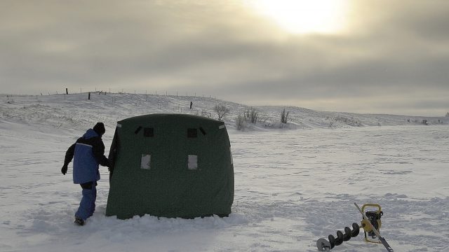
Many of these waters are more winter-type fisheries, with limited access after ice out. And while we’re into the back half of ice fishing this year, the nice thing is these same bodies of water should provide opportunities for seasons to come.
But it’s still not too late to go exploring, to find a new lake that might become a “go to” spot, or just start making a list of places to go for the next ice fishing season.


